
Campus Facilities, Roof, Solar & Terrain Documentation
Practice Project · Aiea, Oʻahu · August 2026
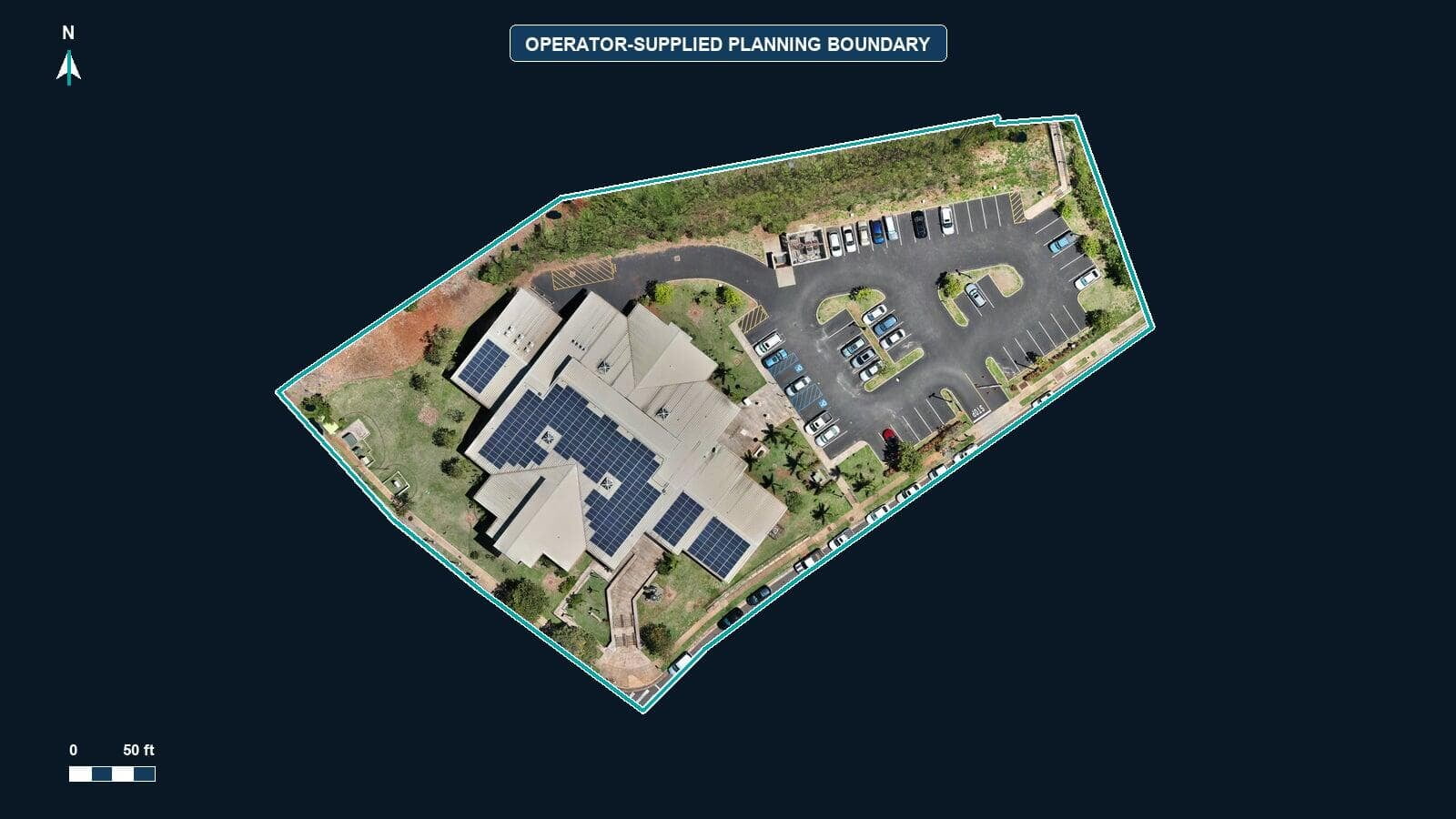
This independent practice project demonstrates how aerial mapping and photogrammetry can organize a complex public-facilities campus into clear planning information. A 67-image dataset was processed into a clean campus map, an annotated facilities-planning exhibit, terrain and elevation context, and a photogrammetry-based 3D site model.
This independent practice project demonstrates how aerial mapping and photogrammetry can organize a complex public-facilities campus into clear planning information. A 67-image dataset was processed into a clean campus map, an annotated facilities-planning exhibit, terrain and elevation context, and a photogrammetry-based 3D site model.
PROJECT SCOPE
• Document the library campus and its surrounding access context.
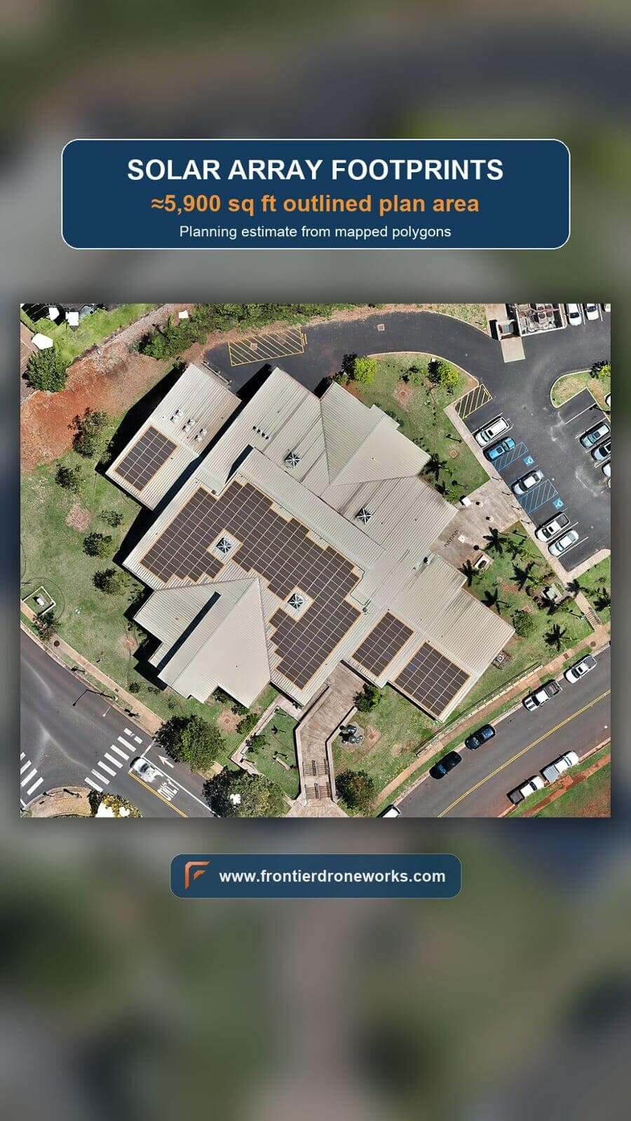
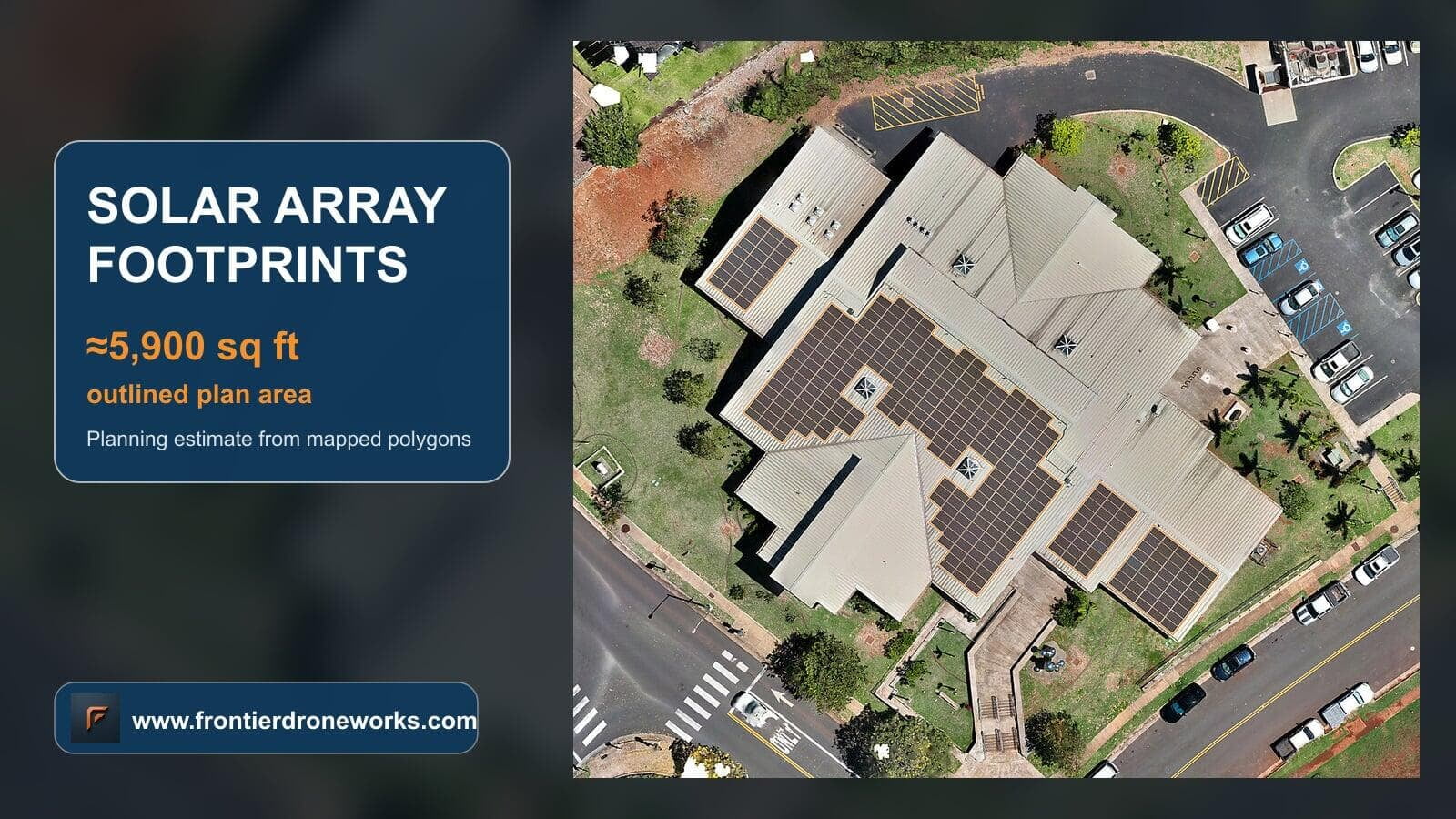
• Organize visible roof and photovoltaic features.
• Summarize parking, circulation, and upper-slope context.
• Prepare visuals for preliminary facilities discussions and qualified onsite follow-up.
DELIVERABLES
• Clean aerial campus map.
• Annotated facilities-planning map with the operator-supplied planning boundary and approximate plan-view measurements.
• Detailed and plain-language planning reports with clearly labeled field-verification notes.
• Photogrammetry-based 3D site visualization.
OUTCOME
The finished package provides a unified visual record of an approximately 2.25-acre planning area. It documents the visible roof and photovoltaic layout, parking and access context, the transition from the vegetated upper slope to the developed site, and the overall relationship between the building, parking areas, and surrounding streets.
ACCURACY & APPROPRIATE USE
This is an independent practice project and was not commissioned by the Hawaii State Public Library System or another property authority. Measurements and visible observations are approximate planning information derived from aerial photogrammetry. The work is not a land or boundary survey, engineering analysis, roof or photovoltaic inspection, condition diagnosis, accessibility or code-compliance review, construction measurement, or definitive drainage assessment. Field verification by the appropriate qualified contractor or licensed professional is required before design, pricing, permitting, ordering, or construction.
Ten-second orbit visualization of the photogrammetry-based campus model. Visible reconstruction gaps and perimeter artifacts are preserved; no geometry was generatively filled.
PLANNING A SIMILAR PROPERTY PROJECT?