
Mililani Parking Lot Mapping & Pavement Planning Exhibit
Practice Project · Mililani, Oʻahu · July 2026
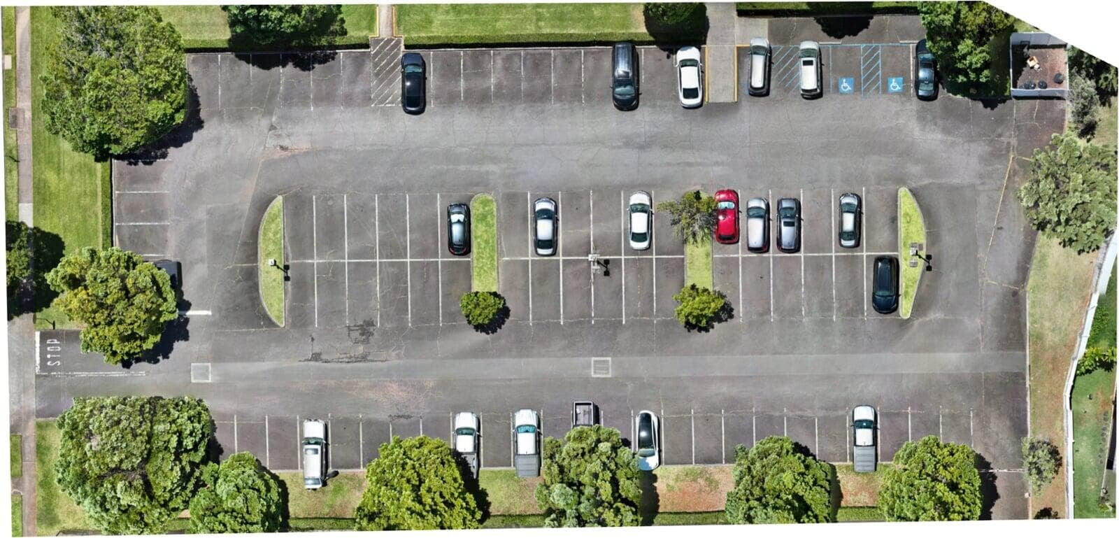
Frontier Drone Works used a real 106-image practice-flight dataset to build a client-style planning package for a fictional pavement-maintenance scenario. The imagery was processed into a high-resolution orthomosaic, reviewed for coverage and privacy, and developed into clean and annotated aerial exhibits.
PROJECT SCOPE
• Process and quality-check 106 aerial images.
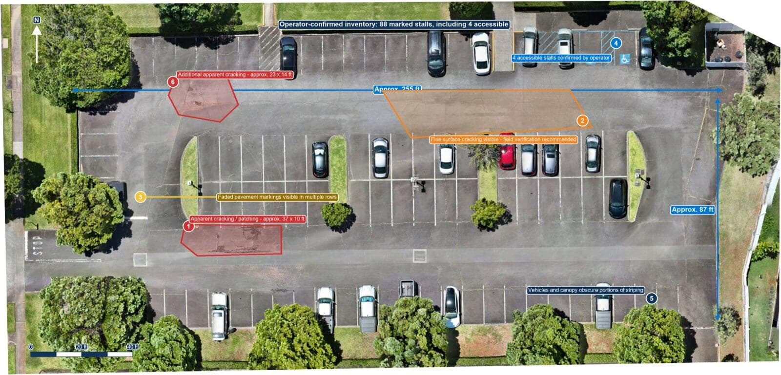
• Document visible cracking, prior patching, faded striping, and obstructions.
• Confirm the marked-stall inventory onsite.
• Provide approximate site and concern-area dimensions for preliminary planning.
DELIVERABLES
• High-resolution clean aerial image.
• Annotated aerial exhibit with scale, orientation, measurements, and observations.
• Written findings, limitations, and recommended field-verification steps.
OUTCOME
Birdi aligned all 106 images. The finished exhibit documented an operator-confirmed 88 marked stalls, including 4 accessible stalls, an approximately 255 × 87-foot paved footprint, and visible pavement concerns to guide a contractor walk-through.
ACCURACY & APPROPRIATE USE
This practice project combines real flight data with a fictional client scenario. Measurements and imagery-derived observations are approximate planning information only. No independently surveyed ground control or checkpoints were used. The work is not a boundary survey, engineering assessment, accessibility-compliance inspection, or formal pavement-condition assessment.
PLANNING A SIMILAR PROPERTY PROJECT?